Geospatial Technology: Mapping and Analyzing the World
Course Content
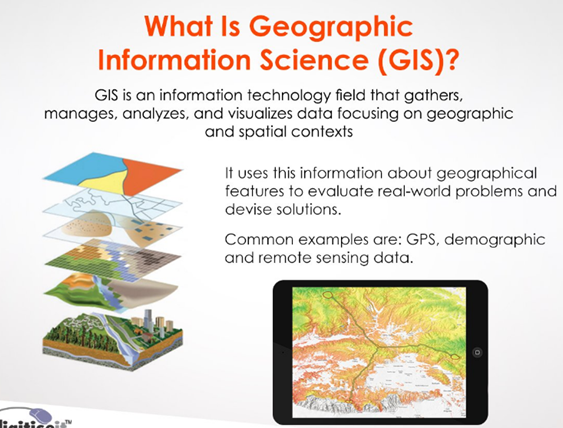
Introduction
-
Definition of geospatial technology
00:00 -
Importance and scope of geospatial technology
00:00 -
Brief history of geospatial technology
00:00 -
Overview of the eBook
00:00