Satellite Guardians: Harnessing Emergency Satellite Services for Disaster Relief
Course Content
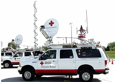
Introduction
-
Overview of the growing need for efficient emergency satellite services in disaster scenarios.
00:00 -
Importance of disaster relief and how satellites can revolutionize response efforts.
00:00